The environment
Information about the environment, routes and places of interest
Os Ancares Biosphere Reserve
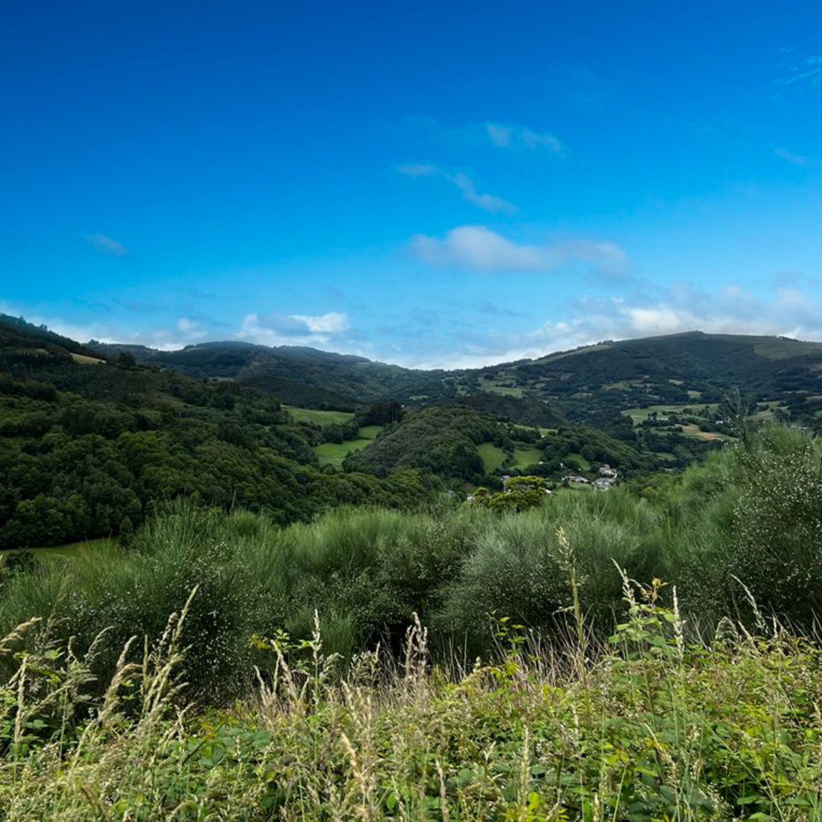
The Os Ancares Biosphere Reserve is located in the eastern region of the province of Lugo, covering the territories of three municipalities: Cervantes, Navia de Suarna and Becerreá. It is one of the most extensive and significant natural spaces in Galicia, highlighted for its rich biodiversity and its crucial role as a refuge for the brown bear in these Galician lands.
This ancestral and remote territory has been inhabited since prehistoric times, maintaining its character intact until recent times due to its difficult access. Its valleys sandwiched between imposing peaks up to 2000 meters high are home to small towns and villages that have preserved their traditional way of life. Among its hallmarks are the pallozas, ancient circular straw huts where humans and animals shared space. Today some of them have been converted into ethnographic museums that show the cultural wealth of the region.
In Os Ancares, forests of oak, chestnut, beech, holly, hazel and birch dominate the landscape, coexisting harmoniously with heather and genista meadows. The fauna of the area includes a wide variety of species such as wild boar, deer, chamois, foxes, roe deer and wolves, providing an unparalleled experience for lovers of nature and wildlife observation.
Links of interest
Os Ancares Lucenses Biosphere Reserve (Lugo Provincial Council)
Xeodestino Ancares e Terras do Buron
Guides to the municipalities of the Reserve prepared by the Tourism Service of the Provincial Council of Lugo (routes, tourist offers, what to see, etc.):
Microlandscape catalog Xeodestino Ancares and Terras do Burón
Google Maps microlandscapes Xeodestino Ancares and Terras do Burón
Routes
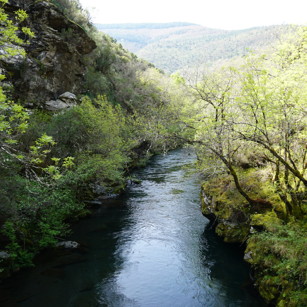
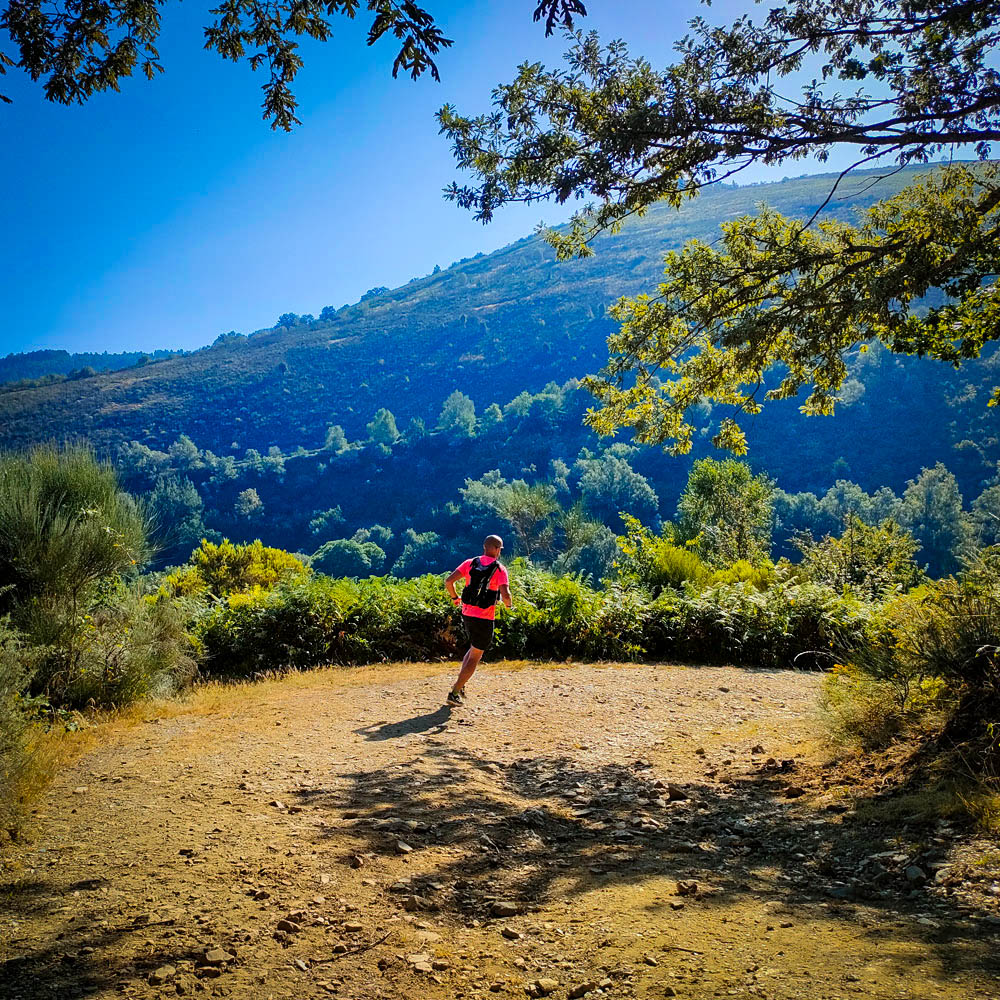
Walking from Ferrañol
- Easy:
- to Torés
- to Fonte do Lobo
- Medium:
- to Ferreiros
- to Guillén
First section by car and then flat routes
- half slope of the mountain of Torés / Riomao
- from Trapa to Riba de Guillén
- from Cruz to riba de Ferreiros, by Eiros
- from Cruces / el Pando to Chancia by the Camiño Real
Routes in the Becerreá area
- holm oak in Cruzul
- grove of agueira
- mountain range of Calamouco
- route of Quintá / Donsal river
- route of Water (Becerreá-Narón)
- route of the Calizas
Places of interest
Near
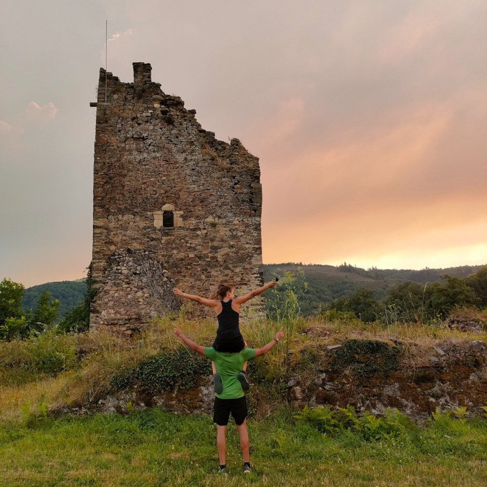
- Torés Castle
- Vilouta dolmen
- Geodesic point of Pena Ferradal
Middle distance
- Os Grobos
- Cruzul Bridge
- Doncos Tower
- Penamaior Convent
- Valdavara Cave
- Eirós Cave
- Saint Church
- Bridges of Gatín
More than 15 km
- Santiago’s Road: Triacastela, Samos, Sarria…
- Pre-Romanesque village of Cebreiro
- Os Ancares
- O Courel
- Balboa on Veiga de Valcarce
- Fair with traditional octopus booths:
- in Becerreá on the 3rd and 19th of each month
- in Pedrafita on the 5th and 21st of each month
